| Devil Mountain | |
|---|---|
 | |
| Highest point | |
| Elevation | 375 m (1,230 ft) |
| Coordinates | 47°5′18″N 80°5′6″W / 47.08833°N 80.08500°W / 47.08833; -80.08500 |
| Geography | |
| Location | Temagami, Ontario |
| Topo map | NTS 41P1 Obabika Lake |
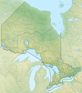
Devil Mountain, sometimes mistakenly called Devil's Mountain, is a wooded mountain in the Municipality of Temagami, Northeastern Ontario, Canada. It overlies Devil Island in Lake Temagami with an elevation of 375 m (1,230 ft) above sea level. A short trail from Angus Point leads to an overlook some 76 m (249 ft) above Lake Temagami. From here, Maple Mountain can be seen on a clear day.
Devil Mountain is underlain by Nipissing diabase, which forms a 2.2 billion year old magmatic province with an east–west extent of almost 450 km (280 mi) and a north–south extent of up to 350 km (220 mi).
See also
References
- "Devil's Mountain Lookout". Retrieved 2016-11-02.
- Simony, P. S. (1964). Geology of Northwestern Timagami Area, District of Nipissing (PDF) (Report). Queen's Printer. Retrieved September 10, 2024.
- Lightfoot, P. C.; Souza, H. De; Douerty, W. (1993). "Differentiation and source of the Nipissing Diabase intrusions, Ontario, Canada". Canadian Journal of Earth Sciences. 30 (6). NRC Research Press: 1124. Bibcode:1993CaJES..30.1123L. doi:10.1139/e93-095. ISSN 1480-3313.
External links
- "Devil Mountain". Geographical Names Data Base. Natural Resources Canada. Retrieved 2016-11-02.
This article related to a mountain, mountain range, or peak in Canada is a stub. You can help Misplaced Pages by expanding it. |
This Northern Ontario geographical article is a stub. You can help Misplaced Pages by expanding it. |