| Dhading Besi धादिङ्ग बेसी | |
|---|---|
| Town | |
  | |
| Coordinates: 27°54′45.9″N 84°53′46.2″E / 27.912750°N 84.896167°E / 27.912750; 84.896167 | |
| Country | |
| Province | Bagmati |
| District | Dhading |
| Municipality | Nilkantha Municipality |
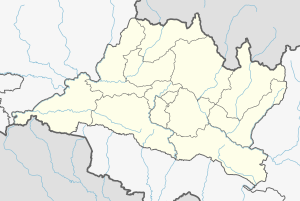
Dhading Besi (Nepali: धादिङ्ग बेसी) is the headquarters of the Dhading District of Nepal. The town is located within Nilkantha Municipality which is one of the two municipalities of the district. It is also the administrative center of Nilkantha Municipality. The district also holds all of the major administrative buildings and structures of the district.
Etymology
The word besi in the Nepali language means lowlands in the river basin which is the reason many people settled here. It is a small town along the banks of two rivers, Arun Khola and Thopal Khola (Khola means a small river in Nepali). Main settlement of the Nilkantha municipality is Puchhar Bazaar, Bich Bazaar, Milan Tole, and Siran Bazaar. Being the district headquarter, most of the government offices are located in the area.
It is at 27°54'45.9"N 84°53'46.2"E at an altitude of 612 metres.
See also
References
- Cohen, Saul B.; ed. The Columbia Gazetteer of the World (New York: Columbia University Press, 1998) p. 827
This article about a location in the Dhading District of Nepal is a stub. You can help Misplaced Pages by expanding it. |