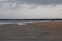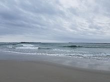

Masonboro Inlet is an inlet in New Hanover County, North Carolina, separating the town of Wrightsville Beach from Masonboro Island. The inlet was used as a hideout by Confederate blockade runners during the Civil War. The blockade runners would hide in the inlet until nightfall, then sail to the nearby port of Wilmington in the cover of darkness.
References
- NCDMF COLREGS Information Archived 2008-01-18 at the Wayback Machine
- The Blockade-Runners
34°11′06″N 77°48′44″W / 34.18500°N 77.81222°W / 34.18500; -77.81222
Categories: