| Queen Charlotte Channel | |
|---|---|
 | |
| Coordinates | 49°22′39″N 123°18′24″W / 49.37750°N 123.30667°W / 49.37750; -123.30667 |
| Type | Strait |
| Part of | Salish Sea |
| Basin countries | Canada |
| Max. length | 3–5 km (1.9–3.1 mi) |
| Max. width | 9 km (5.6 mi) |
| Frozen | Never |
| Settlements | West Vancouver Bowen Island |
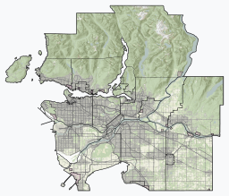
Queen Charlotte Channel forms the southern entrance to Howe Sound, British Columbia, Canada, between Bowen Island and West Vancouver.
Queen Charlotte Channel is approximately 9 km long, and varies between 3 km and 5 km wide. The channel borders on to Strait of Georgia to the south (marked by the small Passage Island). And it borders on Howe Sound to the north (at the southernmost tip of Bowyer Island).
The channel was named after the Royal Navy ship HMS Queen Charlotte.
References
- "BC Geographical Names". Government of British Columbia. Retrieved 7 February 2021.
See also
This article about a location on the Coast of British Columbia, Canada is a stub. You can help Misplaced Pages by expanding it. |